
29 Lake Attitash Road - Special Permit

Gallery
Project details
What is proposed
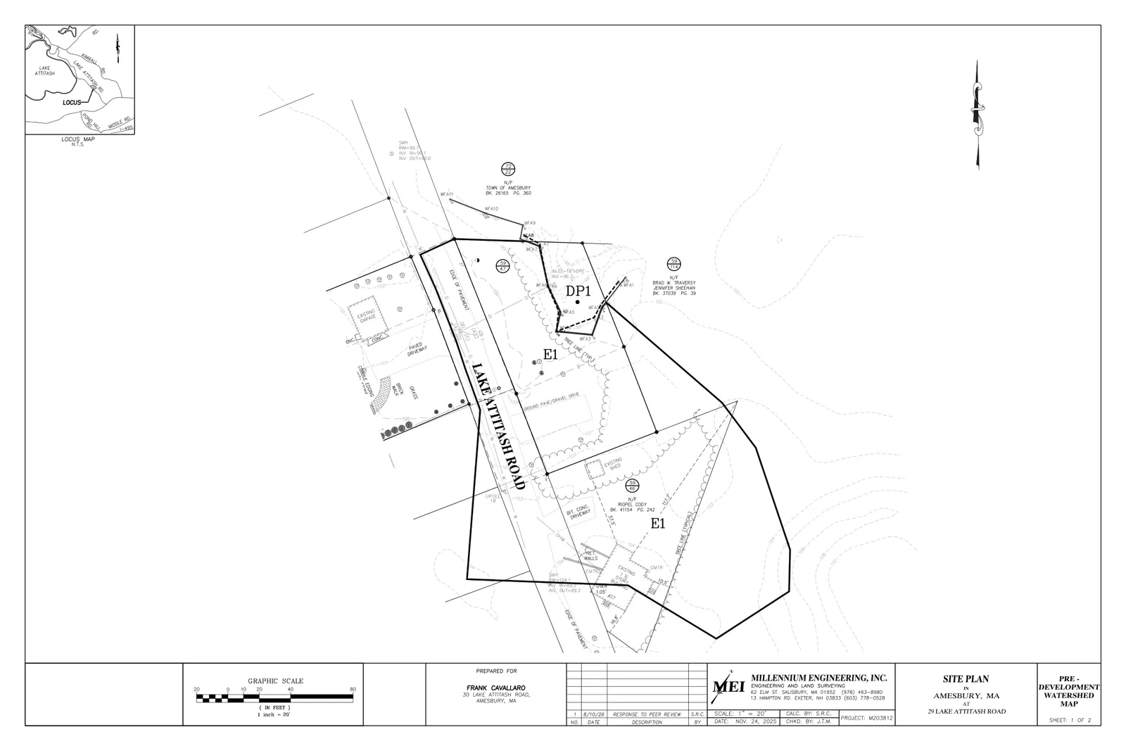
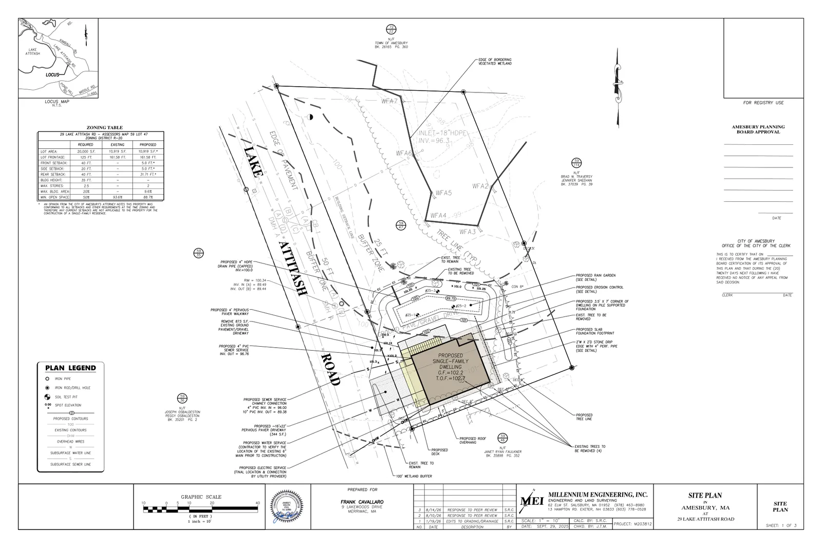
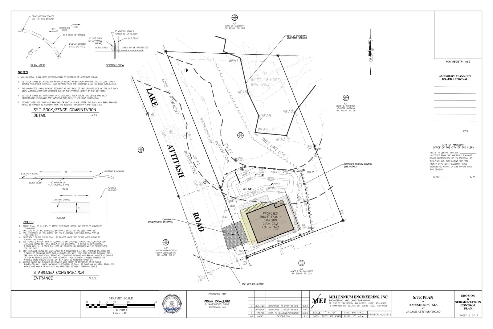
Construction of a single‑family residence and associated site work at 29 Lake Attitash Road. The engineering and planning materials submitted show a proposed house foundation footprint of about 1,052 square feet, underground utility connections to the town water and sewer mains in Lake Attitash Road, a small driveway and walkways, and stormwater controls including grassed conveyance, pervious pavers, and a rain garden to treat and infiltrate runoff.
Where and how big
The parcel is roughly 0.25 acres (Tax Map 59, Lot 47) in the R‑20 zoning district and is located within Zone C of the City’s Water Resources Protection Overlay District. The applicant’s memorandum estimates total impervious area of about 980 square feet; the submitted site plans show the 1,052‑square‑foot house roof area plus limited paved surfaces. Access will remain from Lake Attitash Road.
Stormwater, soils and wetlands
A Stormwater Management Report and HydroCAD analyses were submitted showing on‑site treatment and infiltration designed to maintain or reduce peak runoff relative to existing conditions. The rain garden and other measures are modeled with available storage on the order of a few hundred cubic feet (examples in the modeling output show 325 cubic feet in one scenario and staged storage values up to roughly 640–715 cubic feet for larger events). The report’s summarized peak flows show pre‑development peaks of 0.09 cfs (2‑yr), 0.41 cfs (10‑yr) and 1.17 cfs (100‑yr), and post‑development peaks with the proposed BMPs of about 0.09 cfs (2‑yr), 0.25 cfs (10‑yr) and 1.07 cfs (100‑yr).
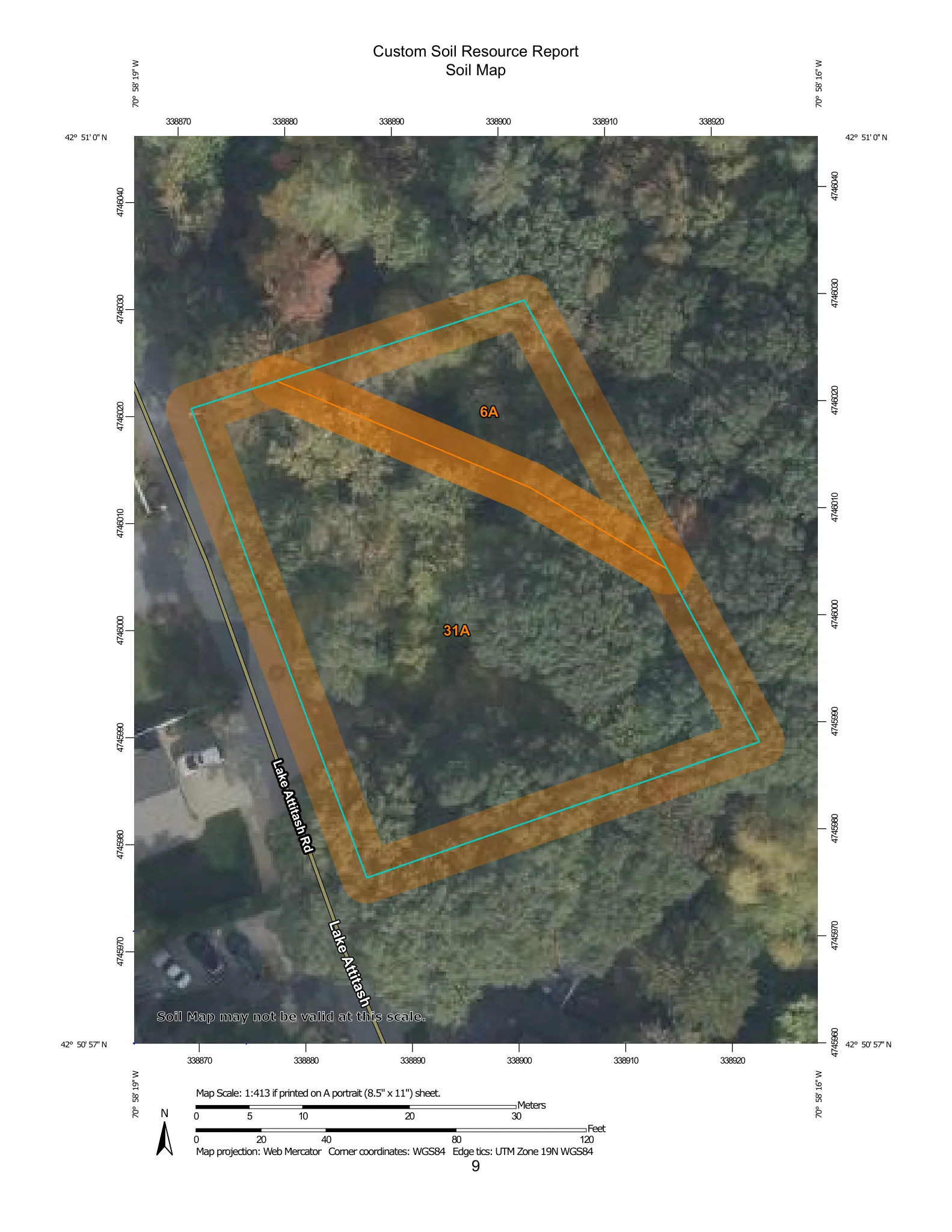
Three soil probe logs accompany the report; they identify sandy loam conditions (Walpole and Scarboro map units) and a seasonal high groundwater table observed at about 16–18 inches below the ground surface, which informed the proposed infiltration design. A bordering vegetated wetland lies near the northern corner of the lot; the applicant states structures are sited outside the 50‑foot wetland buffer to the greatest extent practicable and notes that if any portion falls between 35–50 feet of the wetland a pile‑supported foundation and Conservation Commission review would be used to limit disturbance.
Status
Complete Special Permit application materials (site plans, stormwater report, soils probes, architectural elevations, and a memorandum in support) were submitted in late 2025. The Planning Board has engaged a stormwater peer review process (city estimate dated March 2026) and the applicant has supplied response materials and revised plans in 2026. The proposal remains under review by the Planning Board as a Special Permit application.
Discussion at meetings
- CONTINUEContinue the continued public hearing for 29 Lake Attitash Road to October 14, 2026.
- CONTINUEContinue the continued public hearing for 29 Lake Attitash Road to the August 10, 2026 Planning Board meeting.
- CONTINUEto continue the 29 Lake Attitash Road special permit to the June 8th meeting
- APPROVEAuthorize staff to engage Stantec to perform a peer review for the application at 29 Lake Attitash Road.
- CONTINUEi move to continue 29 lake attach road the special permit here to second march 23rd
- CONTINUEnext up is 29 Lake Attitash Road special permit which is also requested to be continued to the 23rd so moved
- CONTINUEthe applicant requested to continue to the 126th meeting so move second
- CONTINUESo I'll make a motion that we continue 29 Lake Attitash special permit to the planning board meeting of December 22nd
Documents on file


