
Elm St
ANRAD filed for the Golden Triangle parcels on Elm Street resulted in an approved delineation of 1,598 linear feet of inland bank and no BVW shown on the plan.

AI summary
An ANRAD for the Golden Triangle parcels on Elm Street (265–287½ Elm St.) requested delineation of wetland-related boundaries. The Conservation Commission approved an inland bank delineation of 1,598 linear feet (flags BF1‑1 to BF1‑76 and BF2‑1 to BF2‑27), showed 0 linear feet of Bordering Vegetated Wetland on the plan, and noted a potential ILSF area within Wetland C that was not evaluated; the Order was issued March 18, 2024 and is valid for three years.
Gallery
Project details
What is proposed
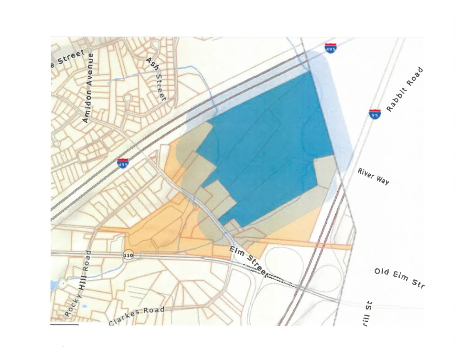
An Abbreviated Notice of Resource Area Delineation (ANRAD) was submitted to the Amesbury Conservation Commission to identify and obtain an official determination of wetland resource-area boundaries on a group of parcels along Elm Street known as the "Golden Triangle." The filing requested a determination only; it did not propose construction or other site work.
Where and how big
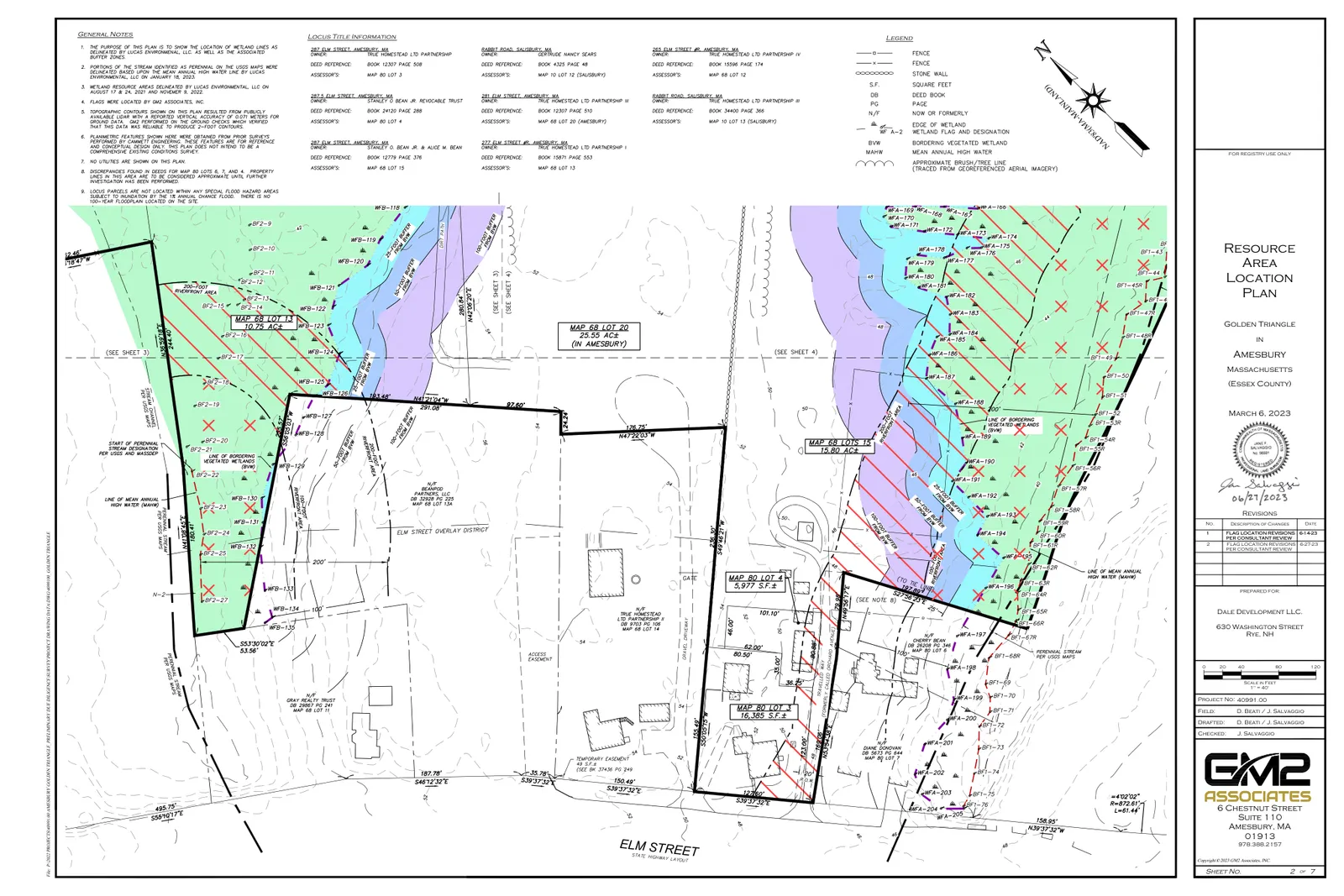
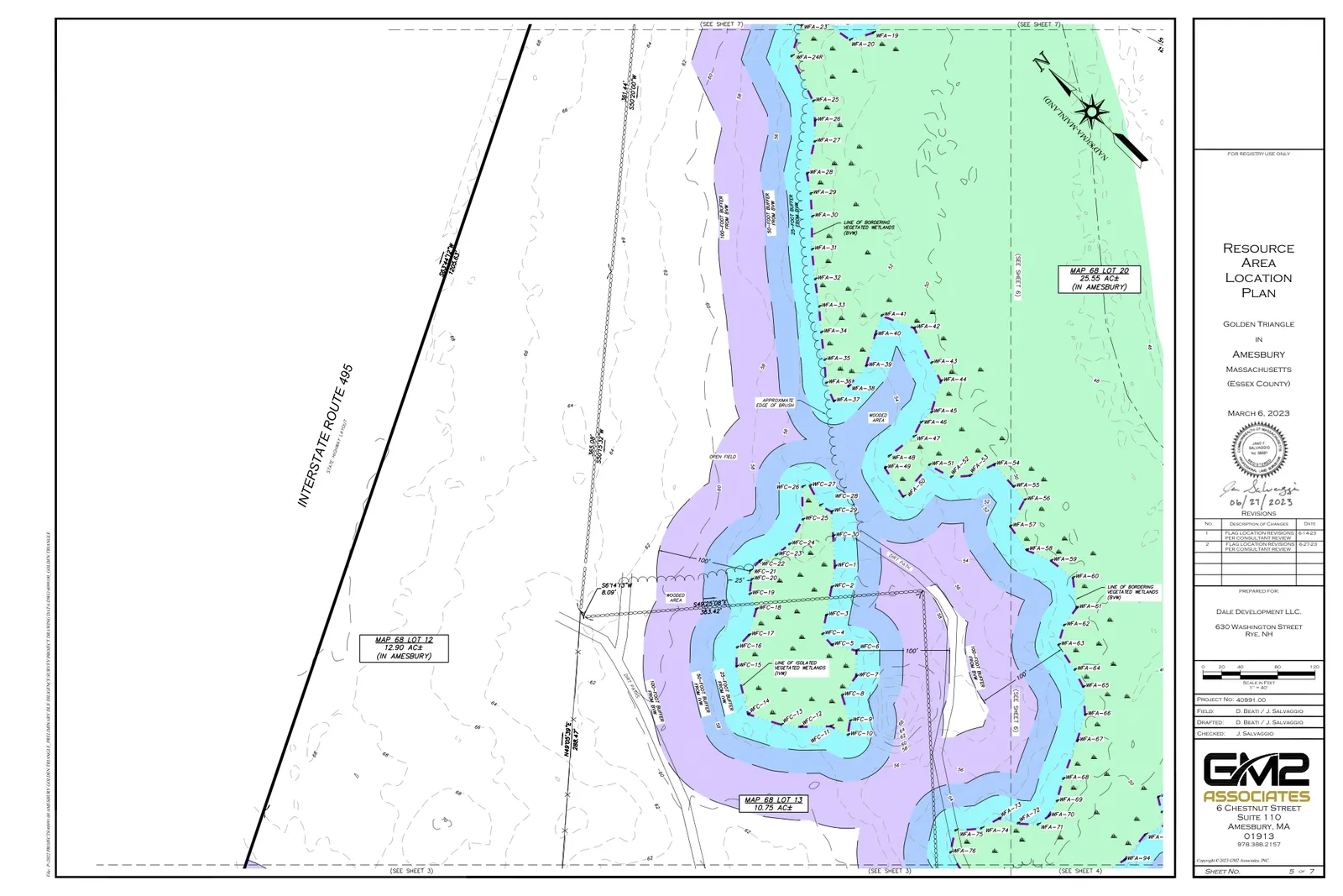
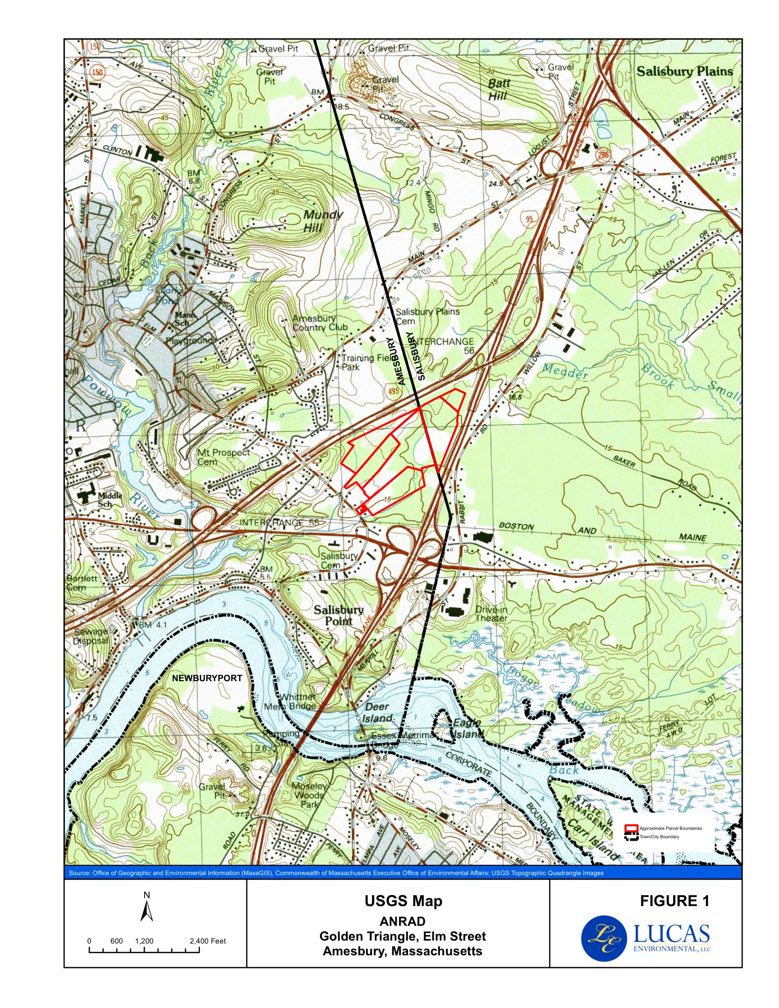
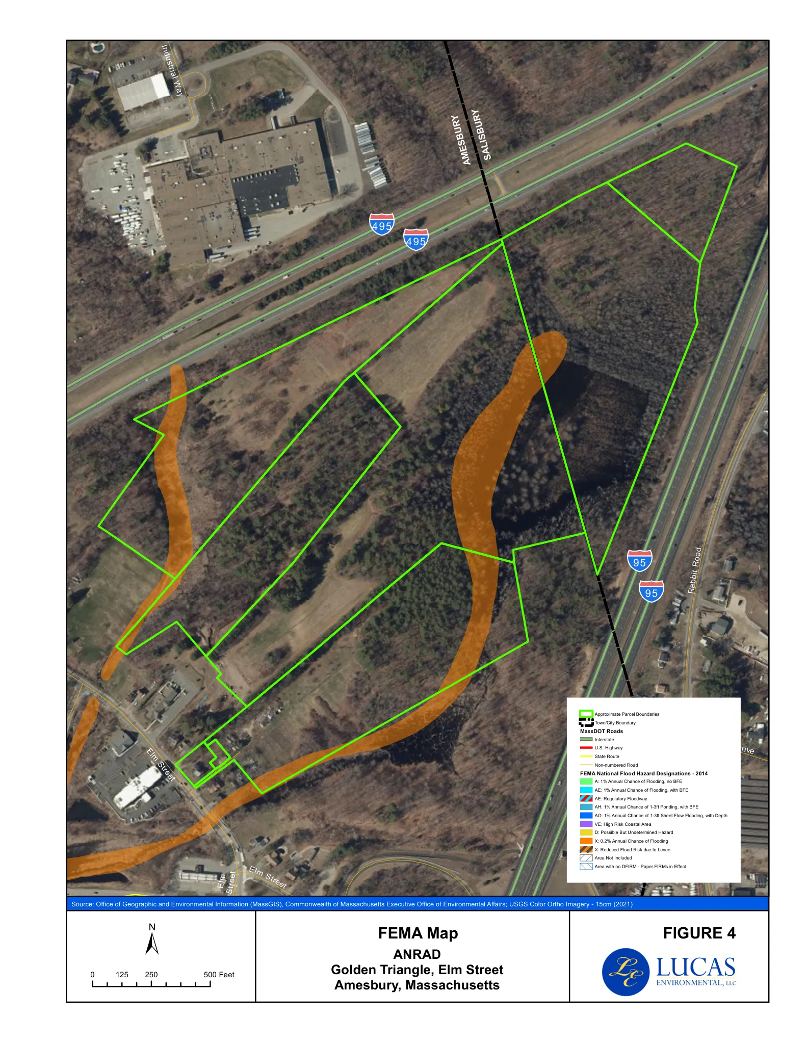
The ANRAD covers parcels at 265 Elm St. (rear), 277 Elm St. (rear), 281 Elm St., 287 Elm St., and 287½ Elm St. (Assessors’ Map 68 Lots 12, 13, 15, 20; Map 80 Lots 3, 4). Resource-area mapping and flagging were prepared by GM2 Associates (final Resource Area Location Plan dated June 27, 2023).
The Conservation Commission’s Order of Resource Area Delineation documents an inland bank delineated by flagged points BF1‑1 through BF1‑76 and BF2‑1 through BF2‑27, totaling 1,598 linear feet. The ANRAD shows 0 linear feet of Bordering Vegetated Wetland (BVW) on the submitted plan. The Commission noted no Bordering Land Subject to Flooding or Isolated Land Subject to Flooding (ILSF) present on the site, except for a potential area of ILSF within the limit of “Wetland C” that was not evaluated as part of this filing. (Isolated Land Subject to Flooding is a resource-area category referenced in the filing and the Order.)
Status
The ANRAD was filed February 8, 2024; the public hearing closed March 4, 2024; the Order of Resource Area Delineation was issued March 18, 2024. The Order determines and approves the identified resource-area boundaries for purposes of decisions under the Massachusetts Wetlands Protection Act (M.G.L. c. 131, § 40) and is valid for three years from the date of issuance.
Discussion at meetings
- APPROVEA motion was made to approve the Minor Modification for 002-1321 63 Elm Street by F. Zackon, seconded by J. McCarthy and unanimously approved by Rollcall Vote.
- APPROVEA motion was made to approve the resource area delineation as presented for ANRAD 002-1327, 265R, 277R, 281, 287 and 287.5 Elm Street.
- OTHERA motion was made to waive the local ordinance fee for ANRAD 002-1327 Elm Street.


